AZZ Cardfile : Simple Software for Home and Office

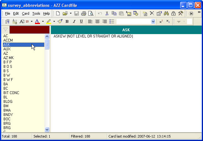
Survey Abbreviations in Geodesy

This file is contributed by Trevelyan Bloomfield

An index of Survey Abbreviations used for surveying in the US - complete with 188 abbreviations. It is convenient to have such type of list in Azz Cardfile format.

surveyor.jpg

Surveying is the technique used to establish land maps and boundaries for building, construction, land ownership, transportation etc.

External links:
http://en.wikipedia.org/wiki/Surveying

USB flash memory support implemented

survey.jpg

Download Survey Abbreviations

The software needed to open this file, Azz Cardfile, is shareware. You are welcome to try it out - downloadable version is fully functional.

Download Download and install AzzCardfile program first: azzcrd33c_setup.exe (1.69 MB)

1. Download Save (not Open) this file: survey_abbreviations.zip (8 KB)

2. Decompress (unzip) FILE.ZIP - will result in FILE.AZZ . Open this FILE.AZZ in AZZ Cardfile program.


azz cardfile safety report AZZ Cardfile safety report, check now.


We offer Azz Cardfile license for life at no cost - send us useful file in azz format, read more...

Download other collections and examples


Disclaimer

All original content, © 2009, Antanas Zdramys
Microsoft and Microsoft Windows are registered trademarks of Microsoft Corporation.